Lord Shiva
Kedarnath
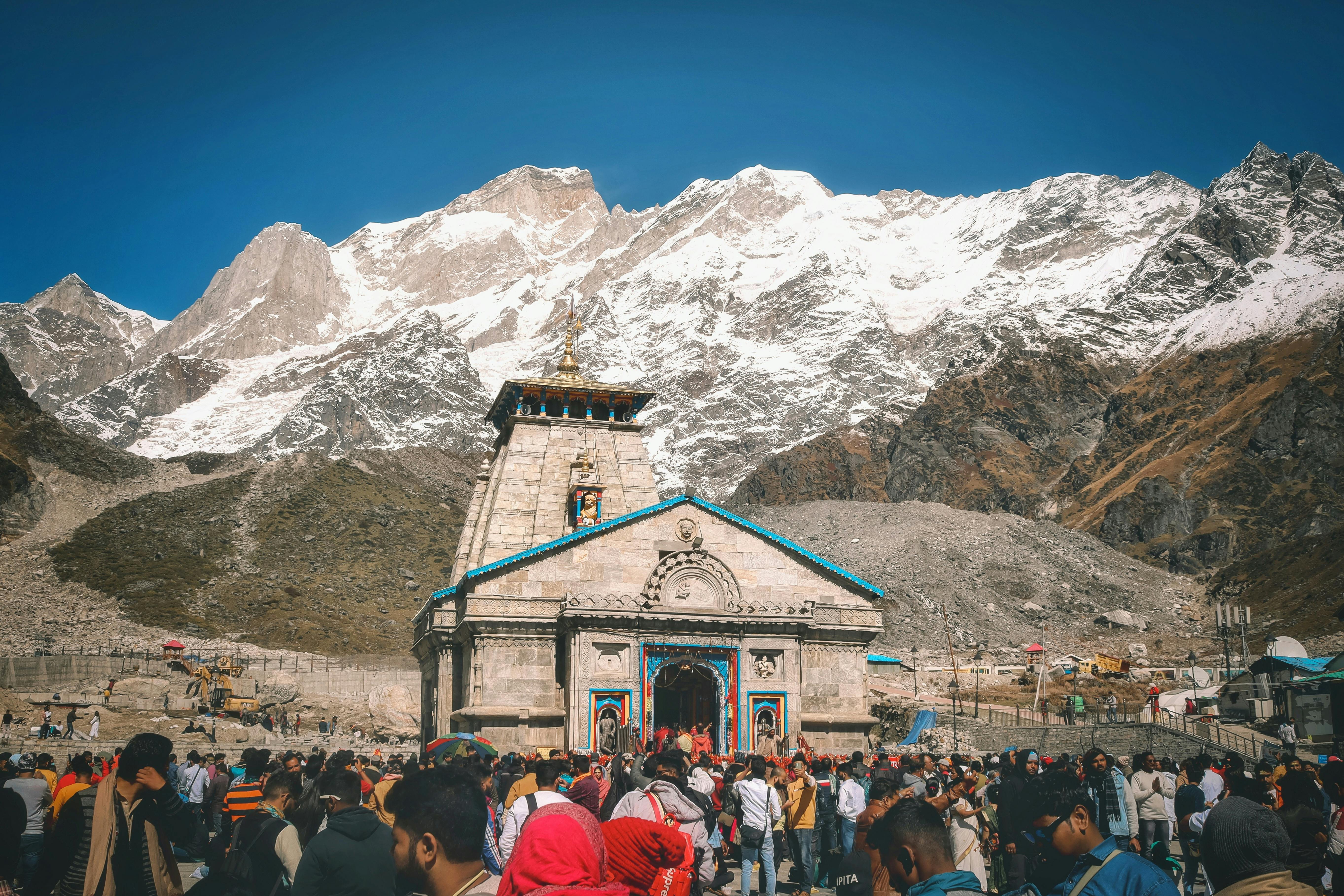
A stone shrine below the Kedarnath range, where the Mandakini valley turns the final climb into a deeply physical and spiritual arrival.
3,583 mMay to June and September to October2°C to 18°C


The sacred pilgrimage through the four Himalayan temples: Kedarnath, Badrinath, Gangotri and Yamunotri.
Choose a Dham, review live route intelligence, check health and timing guidance, then move through the journey with a clear sense of altitude, seasonality and cultural context.
The route moves through river confluences, high valleys, temple towns and weather-sensitive passes. This guide keeps the spiritual arc intact while making the practical rhythm clearer for modern travelers.
Each Dham is presented with live advisories, route context, cultural notes and altitude-aware preparation so the public pages feel editorial, complete and useful for travelers researching the route.

Destination alerts now support Char Dham, general news and any destination on the website.
A stone shrine below the Kedarnath range, where the Mandakini valley turns the final climb into a deeply physical and spiritual arrival.
Roadhead is Gaurikund via Haridwar, Rishikesh, Devprayag, Rudraprayag, Guptkashi and Sonprayag. The final approach is typically a 16-18 km trek from Gaurikund, with pony, palki and helicopter options subject to official availability.
Status cards surface route, weather and crowd alerts for this Dham plus general travel news.
High-altitude Shiva shrine reached from Gaurikund through Sonprayag.
Road open via Sonprayag. Morning helicopter operations are subject to visibility checks.
The Char Dham journey is not only a checklist of temples. It is a north Indian sacred geography that ties Shiva, Vishnu, Ganga and Yamuna to glaciers, confluences, seasonal openings and centuries of pilgrimage culture.
A stone shrine below the Kedarnath range, where the Mandakini valley turns the final climb into a deeply physical and spiritual arrival.
A bright temple town beside the Alaknanda, framed by Nar and Narayan peaks and the ceremonial rhythm of the final northern Dham.
A white temple beside the Bhagirathi, where pine forests, glacier-fed water and mountain silence shape the pilgrimage.
Settle near the Ganga, complete route checks and keep the first evening light for acclimatization and briefing.
Move toward Barkot and Janki Chatti, then keep an early start for the compact but steep trail to Yamunotri.
Follow the Uttarkashi-Harsil road into the Bhagirathi valley, with time reserved for river aarti and weather buffers.
Reach Guptkashi, Phata or Sonprayag and prepare for the next morning's high-altitude trek or authorized transfer.
Make a slow, deliberate ascent to the stone shrine and descend only after confirming route, visibility and crowd status.
Cross toward Joshimath and Badrinath for the Vishnu temple, Tapt Kund and a carefully paced Mana village extension.
The gallery is structured for immersive destination photography and can be expanded with licensed route images, temple-town details, river valleys, trek moments and seasonal landscapes.
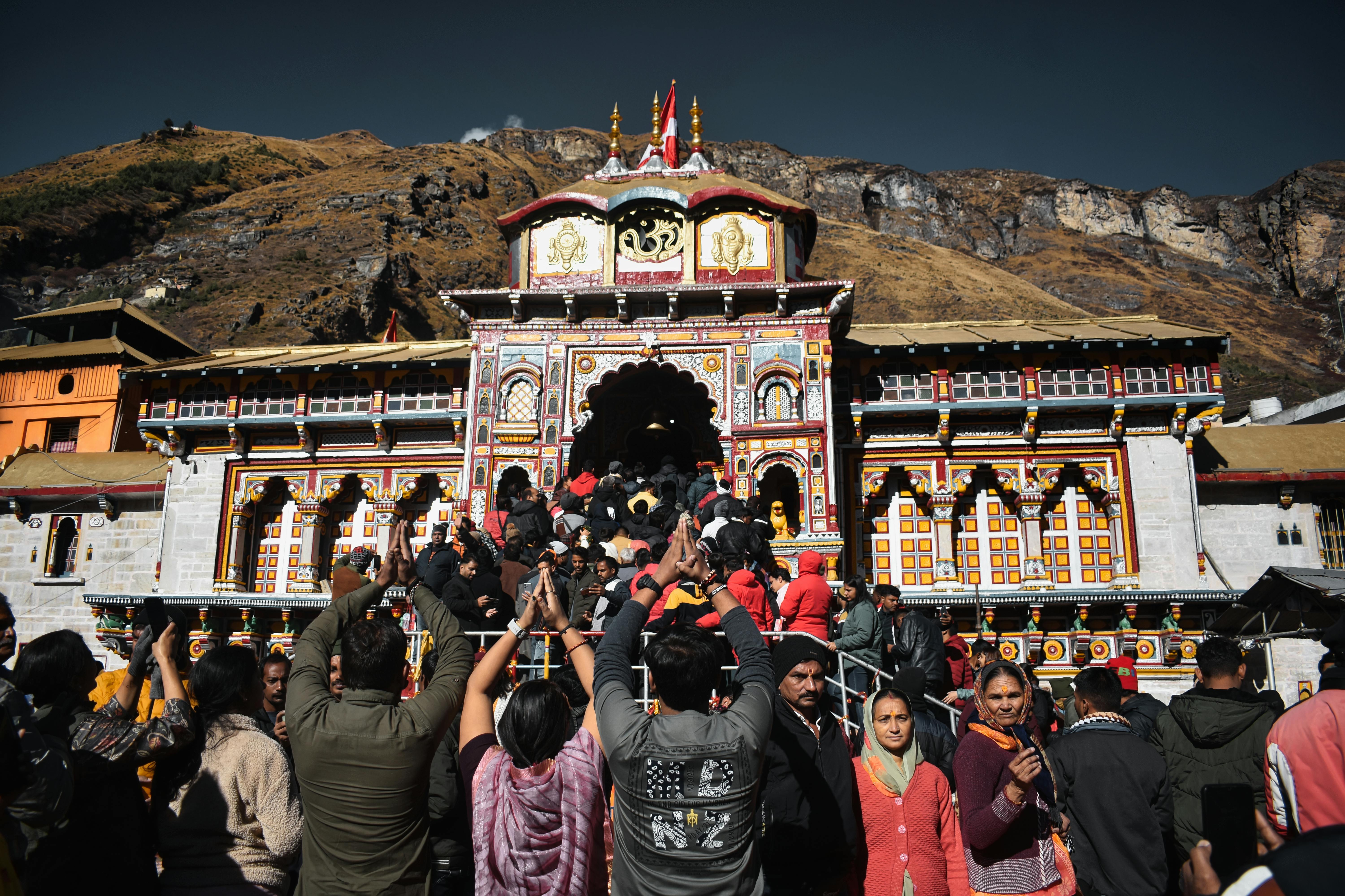
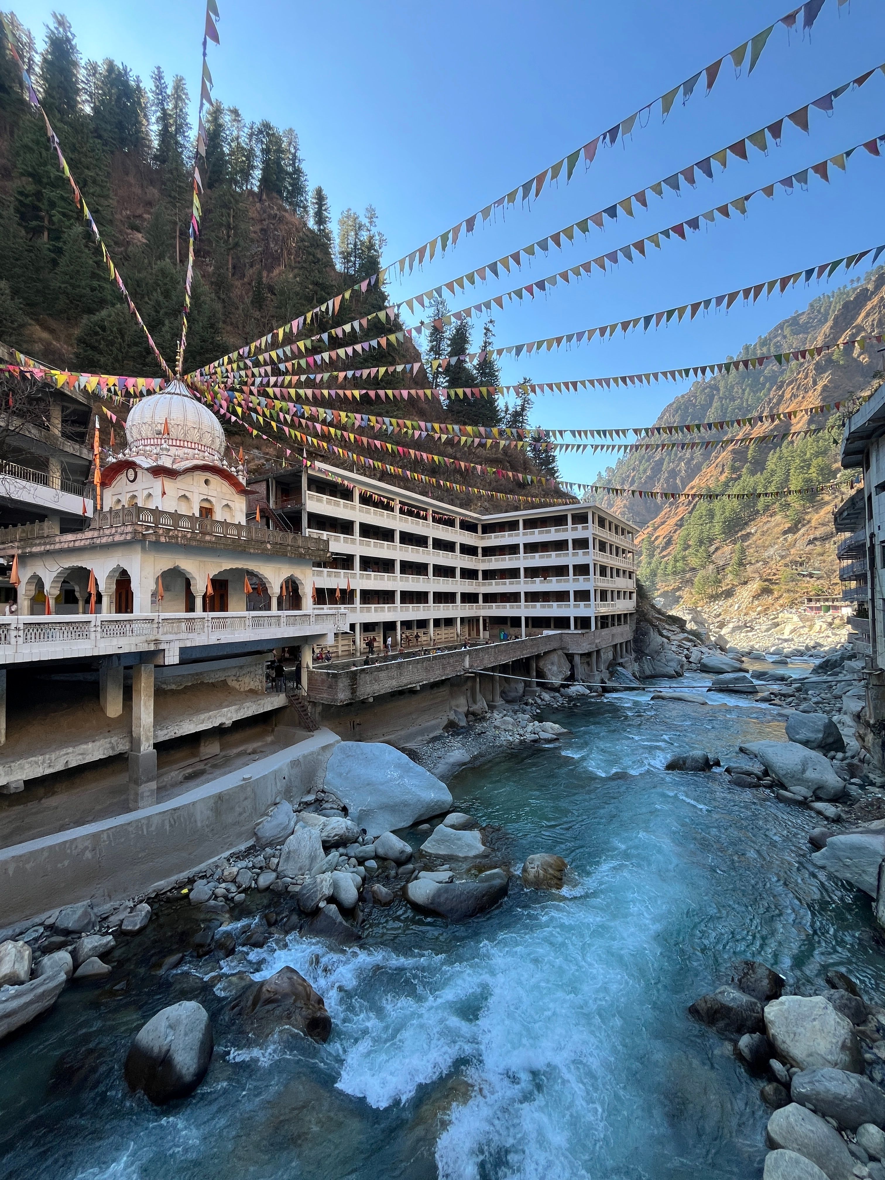
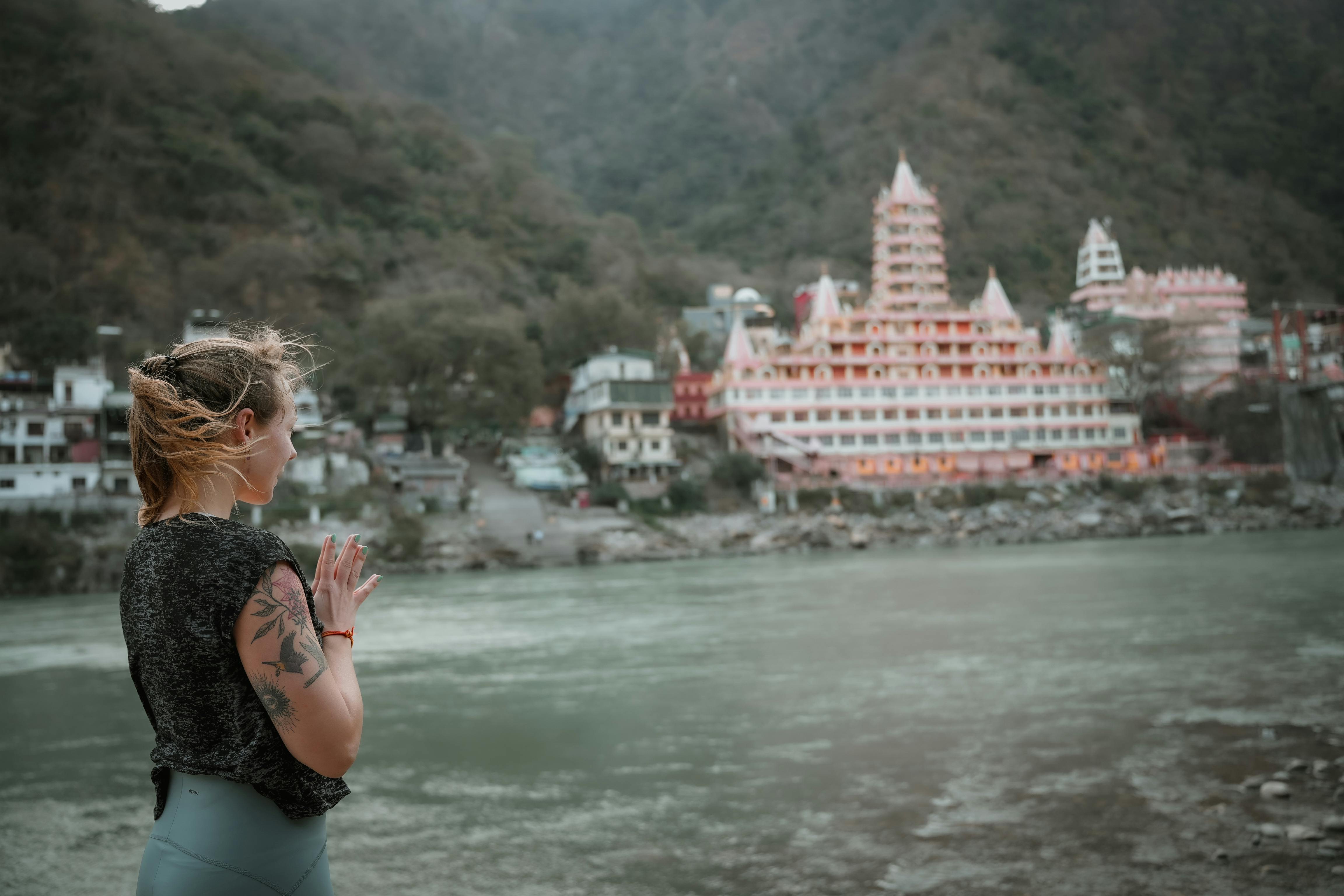
Morning bells, river aarti, Garhwali hospitality, seasonal priestly calendars and small hill markets define the route. Travelers should move with quietness around rituals and respect local queue systems.
Keep the journey slower than a standard road trip. Hydration, warm layers, medical clearance, rain protection and rest days matter more than squeezing too many stops into a single mountain day.
A balanced journey usually needs 9 to 12 days, with at least two weather or recovery buffers in the mountains.
Kedarnath is usually the most demanding because of altitude and the long trek from Gaurikund.
Review route openings, weather, crowd advisories, health condition, driver rest and the next fuel or medical point.
Yes, with slower pacing, medical advice, accessible stays and enough breaks between the higher-altitude segments.